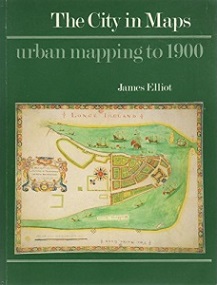
The City in Maps - Urban Mapping to 1900
The British Library, 1987
Liberally illustrated with examples drawn from the British Library's extensive collections, The City in Maps is a survey of the history of urban cartography from the earliest times to the end of the 19th century. Elliot traces the development of the city map, from the simple outlines to be found on Babylonian clay tablets to the 4th century BC, through the stylised picture maps of medieval times and the spectacular bird's-eye view of the Renaissance, culminating in the functional, mass-produced street maps of the Victorian era. Other points covered are the mapping of fires and sieges, and the application of urban cartography to the mapping of medical and social phenomena. Based on the exhibition of the same title which opened in 1986. This copy includes the exhibition notes in separate booklet...
